Understanding the Importance of a Ski Map
For skiing enthusiasts, a well-prepared trip can make the difference between an exhilarating experience and a frustrating day on the slopes. A crucial element in this preparation is the ski map, a vital tool that not only enhances safety but also enriches the skiing experience. Using a ski map effectively can help skiers navigate a particular area, understand terrain types, and choose trails that match their skill levels. This article aims to explore the significance of ski maps, how to interpret them, and strategies for their effective use in order to elevate your skiing adventures.
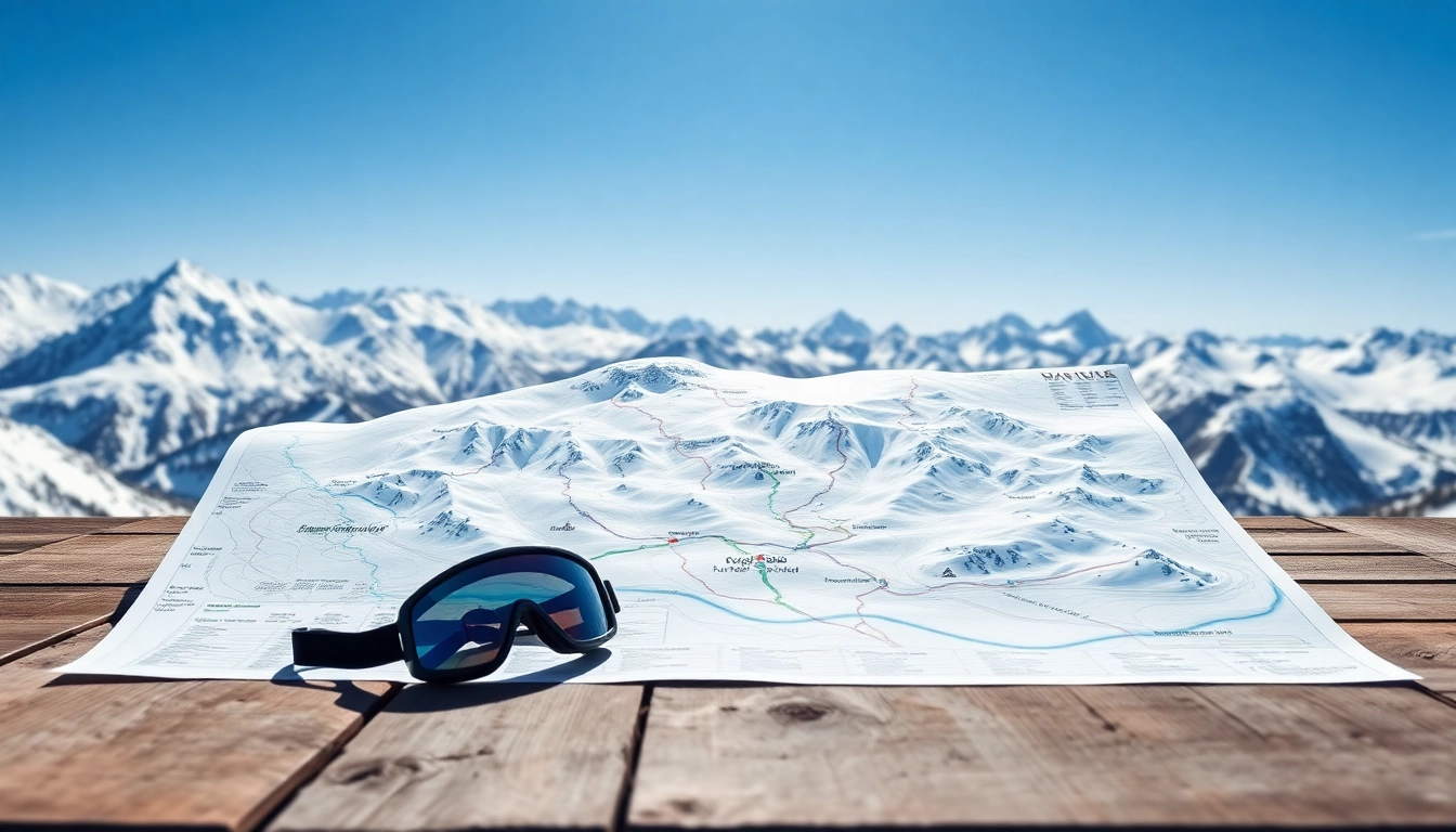
What is a Ski Map?
A ski map is a graphical representation of a ski area, showcasing various features such as trails, lifts, terrain types, and points of interest. Typically, these maps summarize crucial information, including elevation, trail difficulty ratings, and safety zones, making it easier for skiers to plan their routes and avoid unexpected challenges. Most ski maps are designed for quick comprehension, with clear symbols and color codes that represent different trail styles and conditions.
Benefits of Using a Ski Map
Using a ski map offers various benefits that enhance the skiing experience:
- Navigation: Ski maps guide you through unfamiliar terrain, ensuring that you can confidently explore new trails without getting lost.
- Safety: Understanding the layout of an area can help avoid hazardous zones, like steep drops or out-of-bounds sections.
- Trail Selection: With clearly marked difficulty levels, ski maps help skiers choose appropriate trails based on their skill level.
- Elevation Insights: Knowing the elevation gain of a ski area can help skiers prepare physically and mentally for the demands of each trail.
- Point of Interest: Besides trails and lifts, ski maps can highlight restaurants, ski patrol stations, and other amenities that enrich the overall experience.
Types of Ski Maps Available
There are several types of ski maps available, each catering to different needs:
- Printed Ski Maps: Traditionally distributed at ski resorts, these maps are handy for on-site navigation. They often provide detailed graphics and are durable enough to withstand cold conditions.
- Digital Ski Maps: Available as apps or interactive websites, digital ski maps offer dynamic features such as real-time updates on conditions, GPS tracking, and integrated social features that allow skiers to share their adventures.
- Topographical Maps: Revealing terrain variations and elevations, these maps are particularly useful for backcountry skiing, providing essential information for navigation in unmarked areas.
- 3D Maps: These visually engaging maps offer a three-dimensional view of a ski area, facilitating a better understanding of slopes and landmarks, making them an attractive option for visual learners.
How to Read a Ski Map
Understanding how to read a ski map is essential for making the most of your skiing experience. Proper navigation relies on recognizing key symbols, terrain types, and difficulty levels.
Key Symbols and Terminology
Ski maps include various symbols that represent different elements and services within ski areas:
- Trail Colors: Typically, trails are color-coded: green for beginners, blue for intermediate, and black for advanced skiers.
- Lift Symbols: Various icons denote the types of lifts available, such as chairs or gondolas.
- Boundary Indicators: Markings indicate which areas are in-bounds and which are considered off-limits for safety.
- Warning Symbols: Important notices regarding avalanche risks, icy patches, or wildlife can also appear on ski maps.
Interpreting Elevation and Terrain Types
Understanding terrain types is crucial to selecting an appropriate ski route. Ski maps often depict elevation profiles using contour lines, which indicate the steepness of the slopes. The closer the lines are to each other, the steeper the incline. Terrain types may include:
- Groomed Trails: Regularly maintained slopes are suitable for novices and intermediates.
- Off-Piste Areas: Unmarked snow zones require careful navigation and are typically for advanced skiers.
- Parks and Pipes: These are designated areas that feature jumps and rails for freestylers.
Understanding Trail Difficulty Levels
The difficulty of ski trails is universally represented by colors, but the level of challenge can vary from one region to another. Traditional grading assigns:
- Green Circle: Easiest trails designed for beginners with gentle slopes.
- Blue Square: Intermediate trails that feature varying terrain, often with steeper pitches.
- Black Diamond: Advanced trails, which can include steeps and challenging obstacles.
- Double Black Diamond: Expert ratings for those with high skill and experience, featuring extreme challenges.
Choosing the Right Ski Map for Your Needs
When selecting a ski map, it’s important to consider what best suits your skiing style and destination. Here are some considerations to guide your choice.
Comparing Digital vs. Traditional Ski Maps
Digital ski maps offer interactive advantages over traditional printed options. While printed maps provide a tangible resource that does not rely on battery life, digital maps can be continuously updated with real-time conditions, and some allow for navigation via GPS.
If you are skiing in an unfamiliar area, a digital map with navigation features may be beneficial. However, having a printed version as a backup is smart; technology can fail, especially in remote areas with poor connectivity.
Features to Look for in a Ski Map
Consider these features when selecting a ski map:
- Trail Comprehensive Details: Maps should include all trails, lifts, and critical points of interest.
- Weather Information: Some maps provide up-to-date weather conditions, an essential element for safety.
- Real-Time Updates: Look for apps that offer live updates on lift status, trail conditions, and other important notifications.
- User-Acclaimed Features: Pay attention to reviews that can point out hidden gems like affordable dining options or skilled ski patrol presence.
Where to Find Reliable Ski Maps
Reliable sources for ski maps include:
- Official Resort Websites: These often provide the latest maps and updates that are specific to that ski area.
- Mobile Apps: Many popular skiing apps offer comprehensive ski area maps as well as additional features that enhance skiing experiences.
- Visitor Centers: Resorts usually maintain visitor centers where skiers can pick up free printed maps.
- Online Archives: Websites dedicated to cataloging skiing maps allow users to access maps from various regions worldwide.
Using Your Ski Map Effectively
Armed with a ski map, determining your routes and navigating the terrain becomes much more manageable. Here’s how to optimize your ski map usage.
Preparing for a Skiing Trip with a Ski Map
Before heading to the slopes, familiarize yourself with the ski map:
- Identify Your Preferences: Based on your skill level, choose the trails you wish to ski and mark them on your map.
- Note Facilities: Identify locations of lifts, restrooms, food options, and ski schools.
- Understand Map Symbols: Make sure you comprehend the symbols used on the map to avoid confusion on location.
Navigating Using a Ski Map on the Slopes
Based on your prior preparations, proper navigation is next:
- Check the Map Regularly: Check your ski map periodically to ensure you’re still on the right trail and avoid venturing off-course.
- Adjust Your Path: Be flexible; if one trail is too crowded or its conditions aren’t ideal, consult your map for alternative routes.
- Stay Aware of Your Surroundings: Use the landmarks indicated on the map to orient yourself accurately.
Adjusting Your Skiing Plans Based on the Ski Map
Flexibility based on real-time conditions is crucial:
- Weather Changes: Sudden weather changes can alter trail conditions; refer to the map for safer routes if necessary.
- Difficulty Levels: If conditions are too challenging for your level, don’t hesitate to switch to easier trails.
- Equipment Needs: Depending on trail types and snow conditions revealed on the map, you may need to switch to different ski equipment.
Advanced Techniques for Ski Map Mastery
For those looking to elevate their map-reading skills further and gain a deeper understanding of their skiing environment, consider these advanced techniques.
Creating Your Own Personalized Ski Map
Advanced skiers may find value in crafting personalized ski maps:
- GPS Tracking: Use GPS tools to track your paths and identify favorites, creating a personal reference for future trips.
- Custom Annotations: Mark favorite spots, tough routes, or hidden gems known only to local skiers.
- Sharing Insights: Consider sharing your map with your ski community to enhance collective knowledge.
Utilizing Apps for Enhanced Ski Map Experience
The integration of technology in skiing can significantly enhance the experience:
- Navigation Features: Many ski apps come equipped with real-time navigation tools, making it safer and easier to explore.
- Community Sharing: Apps that allow users to share tips or updates about conditions can prove invaluable.
- Personalized Alerts: Some apps send updates on weather and trail conditions, helping you adapt on the fly.
Sharing and Contributing to Ski Map Communities
Engaging with ski map communities can enhance your experience:
- Forums and Social Media Groups: Participate in discussions that focus on specific regions or skiing styles.
- Map Contributions: Share your maps or updates with communities interested in improving the resources available to skiers.
- Collaborative Editing: Some platforms allow skiers to collectively edit and update maps for greater accuracy and inclusiveness.